Most Dangerous Roads and Highways in Missouri and Kansas
Most Dangerous Roads and Highways in Missouri and Kansas
Our law firm has handled thousands of motor vehicle accident cases.
Even though it is a big part of what we do, we still never like to hear about innocent people who were injured as a result of a car accident.
For this reason, we wanted to create a study to try and increase awareness of dangerous roads and to see if we could help reduce the number of accidents in Kansas and Missouri. Even if it saves a single life, conducting this study would be worth it.
With the help of the data analysis and content marketing agency 1point21 Interactive, we analyzed thousands of car accidents over two years of vehicle crash data from the NHTSA from 2015 and 2016.
If you drive anywhere in these two states, it’s important to know where the most dangerous stretches of roads are. Road design and traffic flow play a big part in how dangerous a section of road is.
Over 1,000 drivers are killed in motor vehicle crashes each year, so knowing where the road is dangerous can help reduce the likelihood that you are involved in a crash.
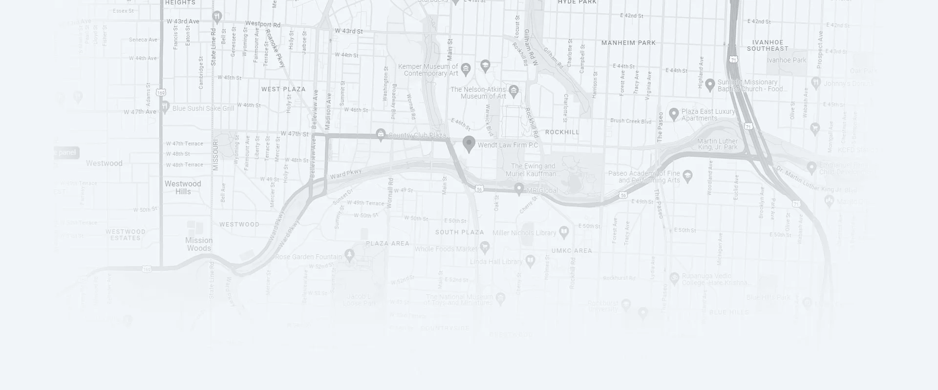
We analyzed two years of crash data from the National Highway Traffic Safety Administration’s Fatality Analysis Reporting System (FARS) and created a map to visualize and pinpoint the most dangerous roads in these two states. In total, we found 40 segments of state and federal highways where the fatal crash rate was high.
Missouri Highways vs Kansas Highways
Missouri had 85% of all the dangerous roads we identified in our study, with 34 of 40 segments in our analysis. The two counties with the highest concentration of dangerous roads are St. Louis and Jackson, where St. Louis and Kansas City are located, so that is as expected considering the population of those cities.
Note: Though we recognize that the city of St. Louis is an independent city, for the sake of this study, we have listed both highway stretches found in the city with St. Louis County to consider the St. Louis metropolitan area as a singular region.
US Highway 24 in East Independence, MO
Home to Kansas City, Jackson County accounted for 22 collisions and 23 fatalities across 5 segments. Of these, a segment of US Highway 24 is the deadliest length of highway in our analysis.
Although it accounted for only 3 crashes and 3 fatalities, it did so in a stretch that spanned just 0.16 miles for a total density of 19.1 fatal crashes per mile. Regardless of quantity, multiple fatal crashes in less than a quarter of a mile of highway merit immediate investigation.
Other notable sections in this region include:
- A 7.8-mile stretch of US Highway 71 in south Kansas City accounts for 8 crashes and 9 total fatalities.
- A 4.59-mile section of Interstate 435 near the Blue Summit neighborhood accounts for 5 crashes and fatalities.
How to Remain Safe While Driving on Missouri and Kansas Highways
- Do not text and drive: Texting and driving is responsible for thousands of car accidents every year, and more importantly, serious injuries and fatalities. Do not text while driving your vehicle, even if you are using voice-to-text.
- Do not use handheld phones while driving: Do not use a handheld phone while driving a car. Even talking on a hands-free device is still distracting. Your conversation can wait. Focus on driving and keeping you and your passengers safe.
- Don’t drive above the speed limit: Most fatal accidents occur as a result of driving above the speed limit. The faster your vehicle is traveling, the more dangerous it is for you and your passengers.
- Don’t drink and drive: This is obvious, but even one alcoholic drink can impact your reaction time.
- Keep a safe following distance: Give yourself time to react to what is happening in front of you. Give yourself a 3-second following distance, and this will increase your chances of avoiding an accident.
- Always wear a seatbelt: Seatbelts save lives. Always wear one and make sure that anyone who rides in your vehicle is also wearing one.
- Be aware of your surroundings: Observe the vehicles around you, any changes in speed limits, watch for brake lights in front of you, and pay attention to the dangerous stretches of road in the map above, especially if they are part of your normal traffic route.
Schedule Your Free Case Evaluation
” * ” Indicates Required Fields
© Copyright 2026 Wendt Law Firm P.C.. All rights reserved.
